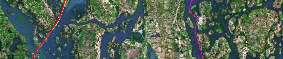
The Sustainche Farm™ Location Analysis takes into consideration the latest satellite imageries of the 2011 flooding in Northern Namibia as well as recent field evidence gathered by Sustainche™ & Lisa. Being a Geography student Sustainche™ always enjoys performing such a spatial and topographical investigation ![]()
Read Sustainche’s & Lisa’s Sustainche Farm™ Location Analysis.
See some of the featured images in the thumbnails below and click to enlarge.


